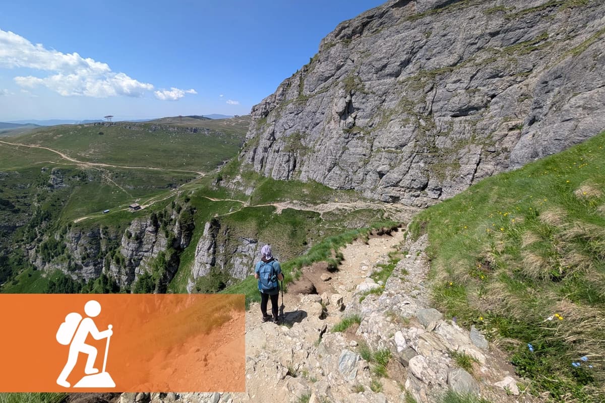
Hiking
Long-distance trails, forest paths and hill routes where conditions can change from one section to the next.


Benelux & Eifel trail safety
From the hills of South Limburg and the Ardennes to Luxembourg’s rock valleys and the Eifel, outdoor routes cross a region where trail conditions, weather, closures and local warnings can change quickly.
A connected outdoor region
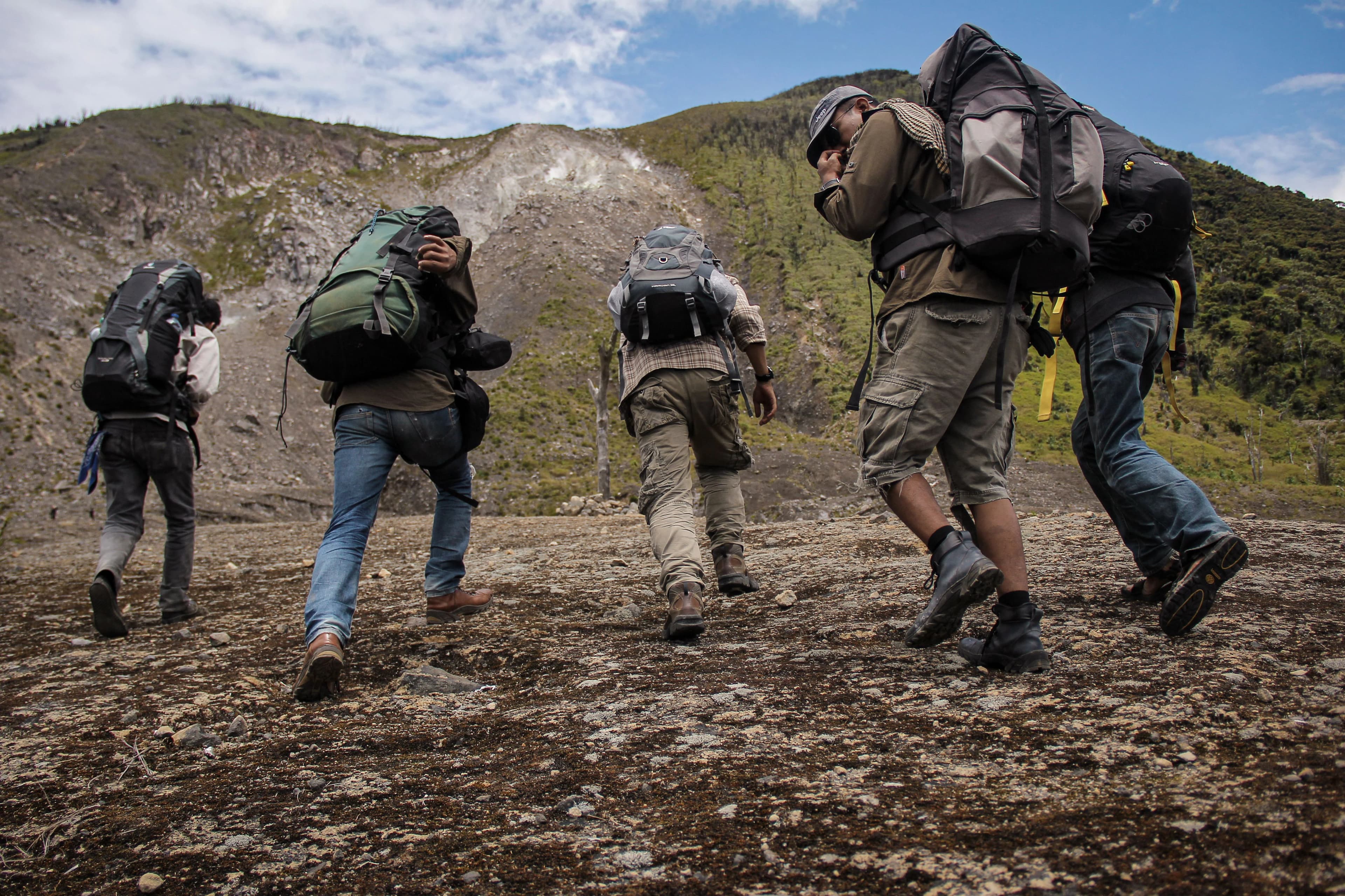
The Netherlands, Belgium, Luxembourg and the neighbouring Eifel form one of Europe’s most varied cross-border outdoor regions. Forest paths, hills, valleys, rock formations, historic routes and cycling networks sit surprisingly close together.
For people moving through this region, knowing the route is only part of the preparation. Temporary closures, hunting activity, flooding, fallen trees, severe weather or fire-related information can matter just as much as the line on the map.
Hike · Walk · Run · Bike
Safentura is built around the activities people already enjoy across the Benelux and Eifel.
Long-distance trails, forest paths and hill routes where conditions can change from one section to the next.
Local and regional walks where community knowledge can add useful context before and during the route.

Trail running routes where obstacles, access changes and weather can quickly affect the experience.
Road, gravel and off-road routes where changing access and trail conditions can matter over long distances.
Iconic trails across the region
These well-known routes show how varied the region is. Safentura does not own or operate these trails; the links below lead to their official route or destination information.
South Limburg · Netherlands
A rugged roughly 100 km walking route from Eygelshoven to Maastricht connecting the Seven Summits of South Limburg.
On a long trail with steep sections and changing terrain, recent information about access, obstacles and conditions can be valuable before reaching the next section.
Official route informationSouth Limburg · Netherlands
A 69.5 km long-distance walk through Roman South Limburg, following the landscape shaped by the ancient road between Maastricht and the eastern border region.
Historic routes often cross modern roads, fields, towns and paths, making current access and local trail information especially useful.
Official route informationMullerthal · Luxembourg
A 39.7 km route through spectacular rock landscapes near Echternach and Berdorf, including the legendary Wollefsschlucht.
Rock passages, forest terrain and narrow sections make current weather, access and trail-condition information particularly relevant.
Official route informationEifel · Germany
A 313 km long-distance trail in 15 stages between Aachen-Kornelimünster and Trier, crossing varied Eifel landscapes.
Over many stages and changing landscapes, local warnings and recent community observations can help add context to route preparation.
Official route informationDistances and route descriptions are based on the linked official sources and can change. Always check the official route information, local signs and current authority instructions before departure.
More than a route line
Safentura adds a safety-information layer around the route you already plan to use. It is not a replacement for official information or dedicated navigation.
See recent observations from people encountering obstacles and changing trail conditions.
View supported weather, flood, wildfire and hunting-related information where available.
Import your route and inspect relevant information around it before and during your activity.
Explore with more context
Check community reports and supported official information before you head into the Benelux and Eifel trail network.