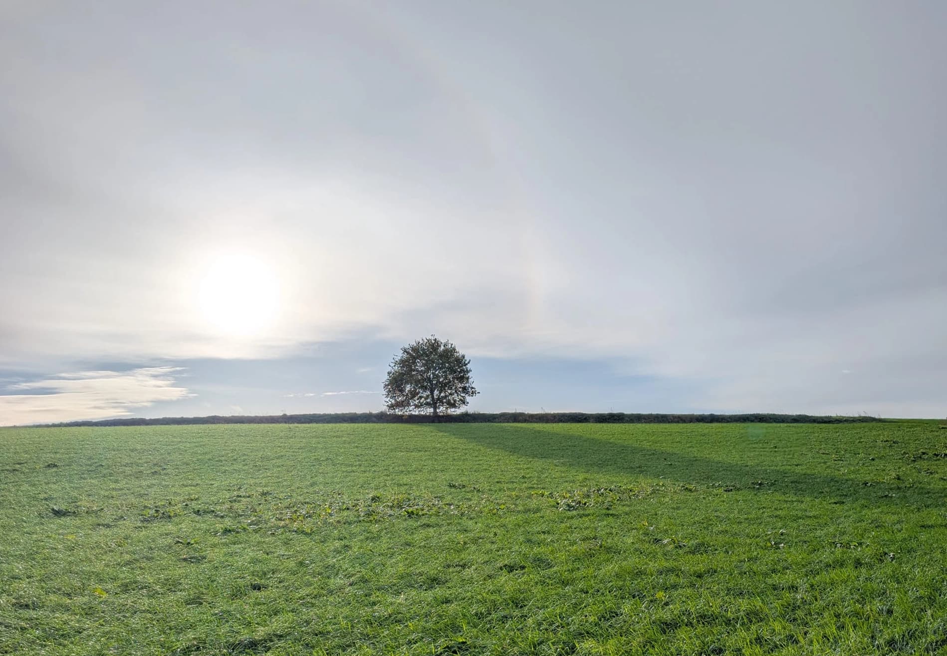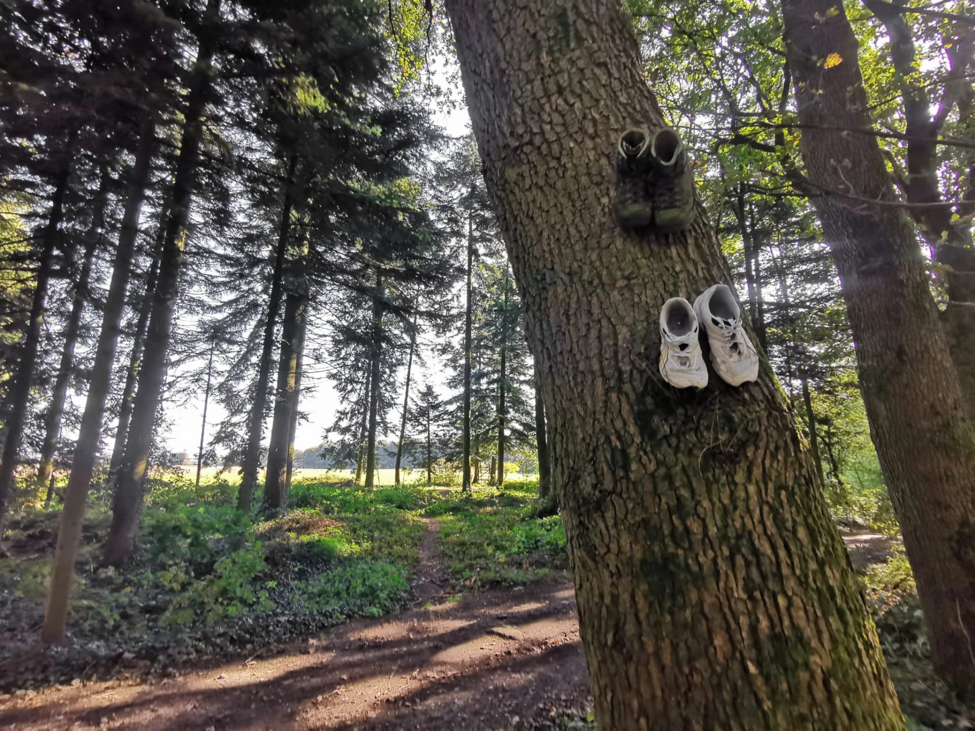
Hiking
Explore long-distance trails, steep hills, forests and cross-border routes through some of the most varied walking terrain in the Netherlands.


South Limburg trail safety
Hills, forests, river valleys and cross-border trails make South Limburg one of the Netherlands’ most distinctive outdoor regions. Safentura adds recent community reports and supported official information to help you understand what may be happening around your route.
Outdoor South Limburg
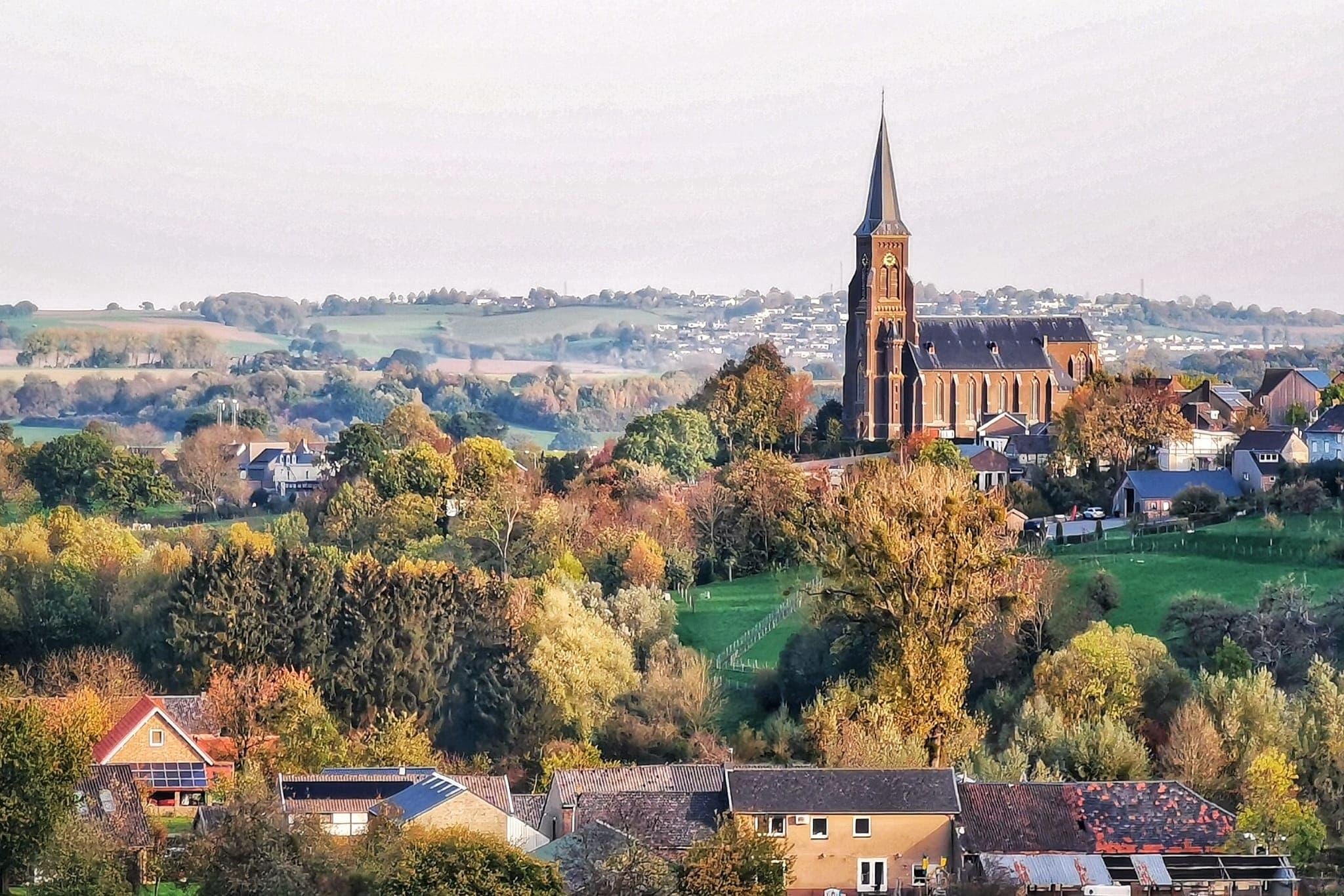
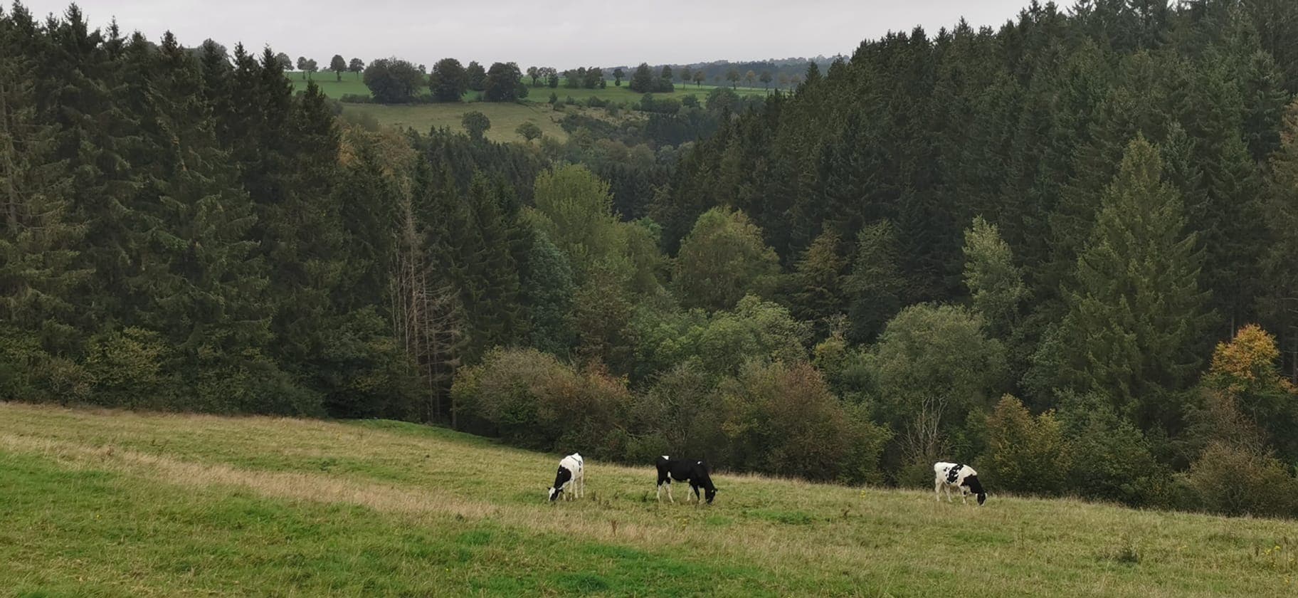
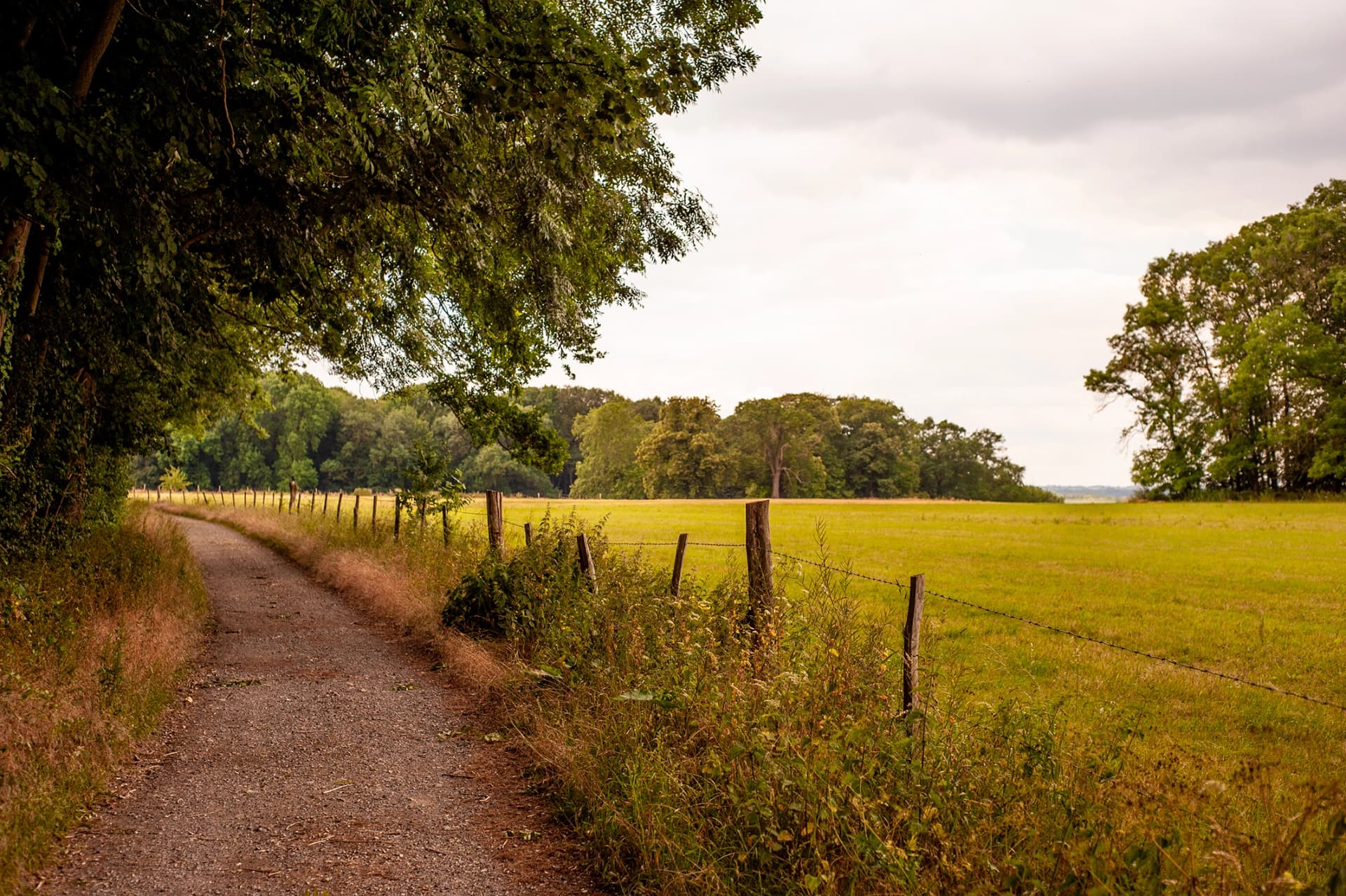
South Limburg is shaped by rolling hills, valleys, forests, streams, villages and a dense network of walking and cycling routes. Around the Heuvelland and towards the borders with Belgium and Germany, the landscape feels very different from the flatter parts of the Netherlands.
That variety also means conditions can change considerably along a route. A dry open section can lead into a muddy forest path, a steep descent, a river valley or a temporarily restricted area. Recent local information can therefore be a useful addition to normal route preparation.
Hike · Walk · Run · Bike
From long-distance hiking to an afternoon ride through the hills, South Limburg offers an unusually varied outdoor network within a compact region.
Explore long-distance trails, steep hills, forests and cross-border routes through some of the most varied walking terrain in the Netherlands.
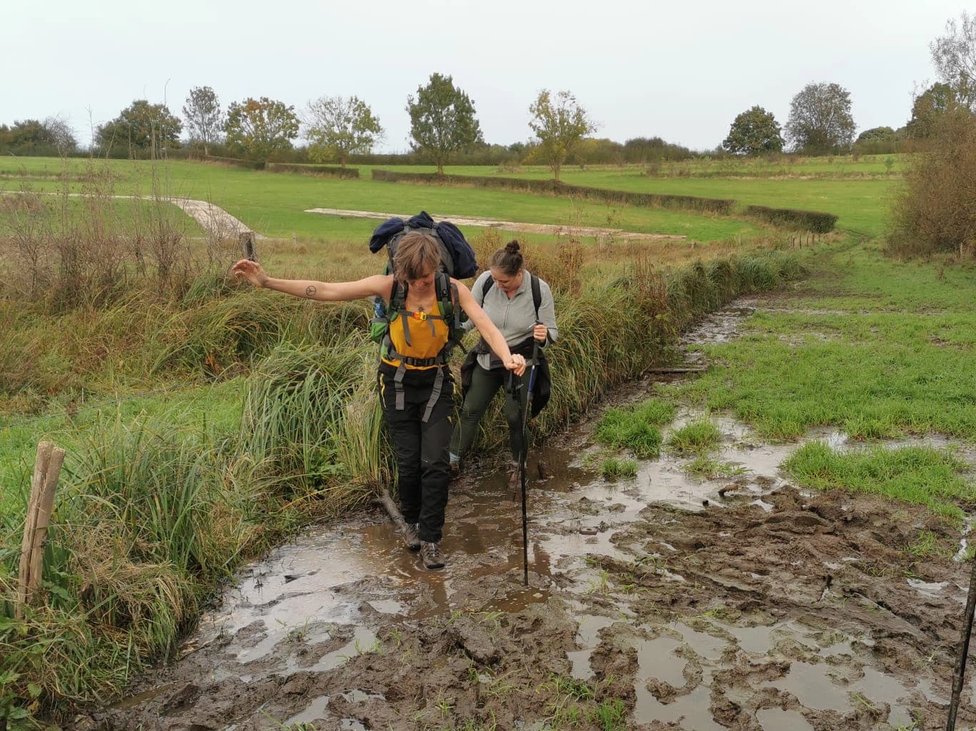
Follow local paths between villages, valleys, forests and viewpoints, with routes ranging from short walks to full-day outings.
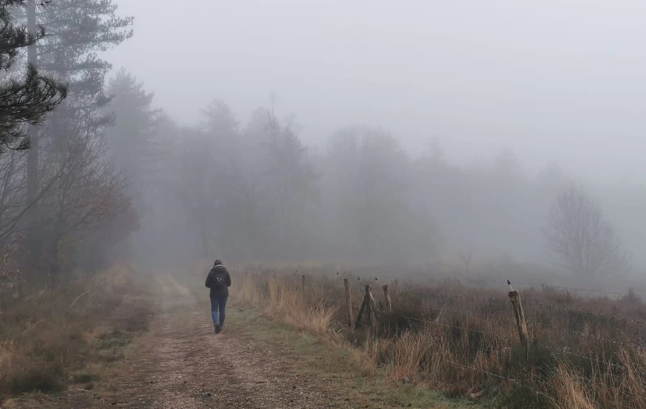
Hills, forest paths and changing surfaces make South Limburg an attractive region for runners looking beyond flat urban routes.
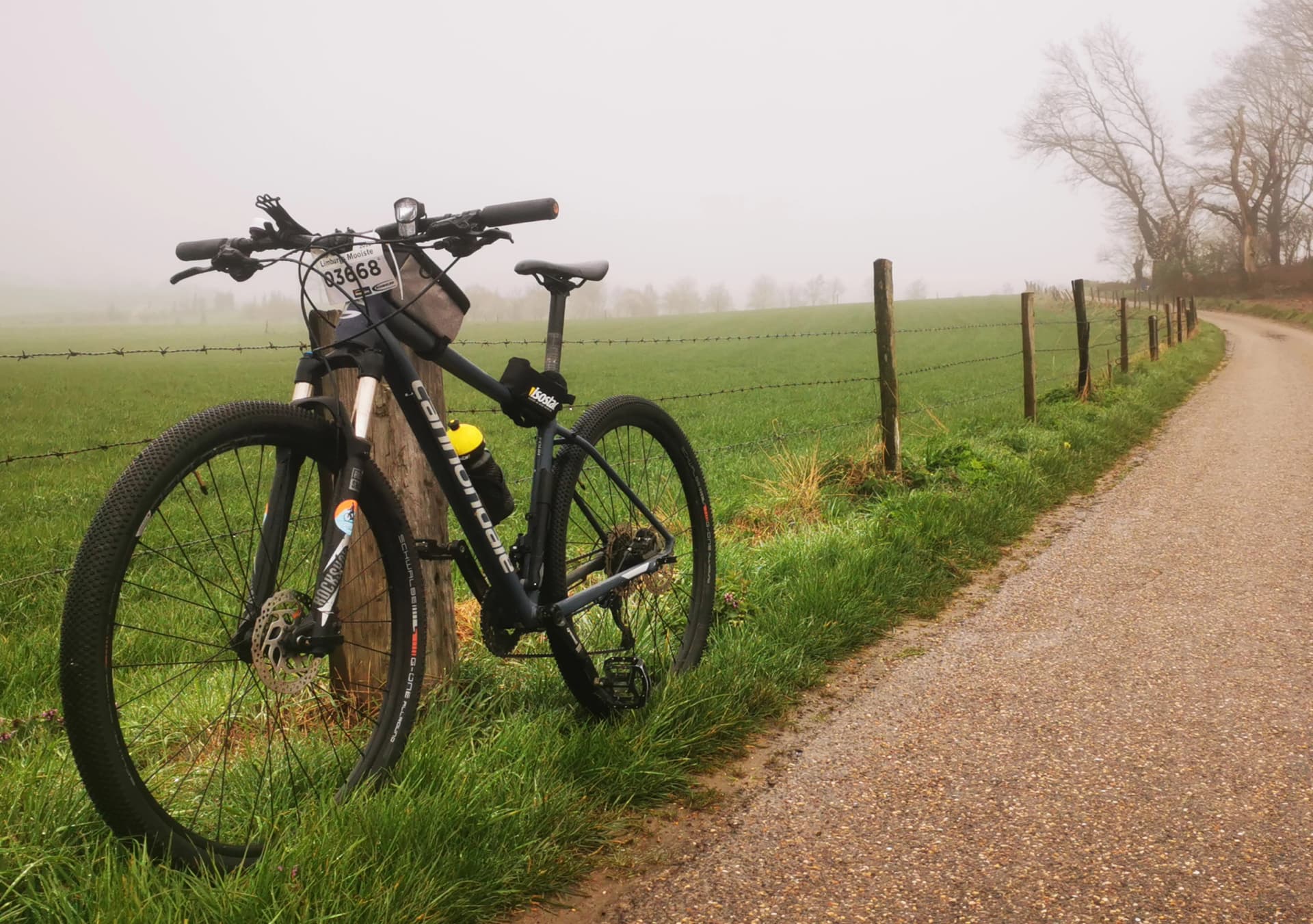
Road climbs, gravel sections and off-road routes connect the hills and valleys of South Limburg with neighbouring Belgium and Germany.
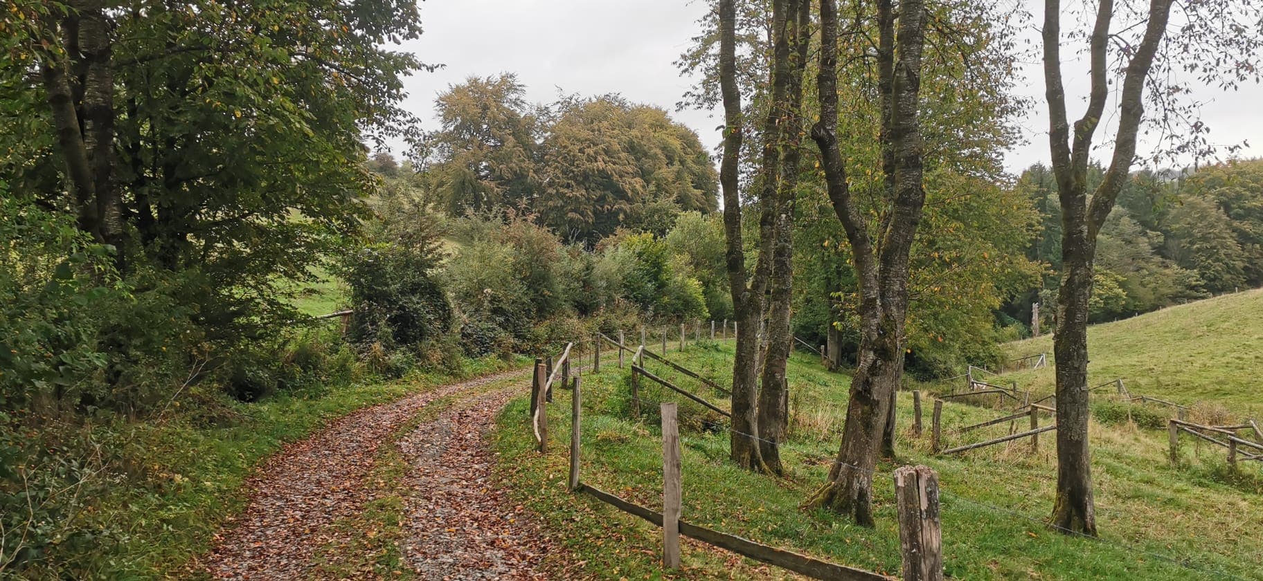
Long-distance routes
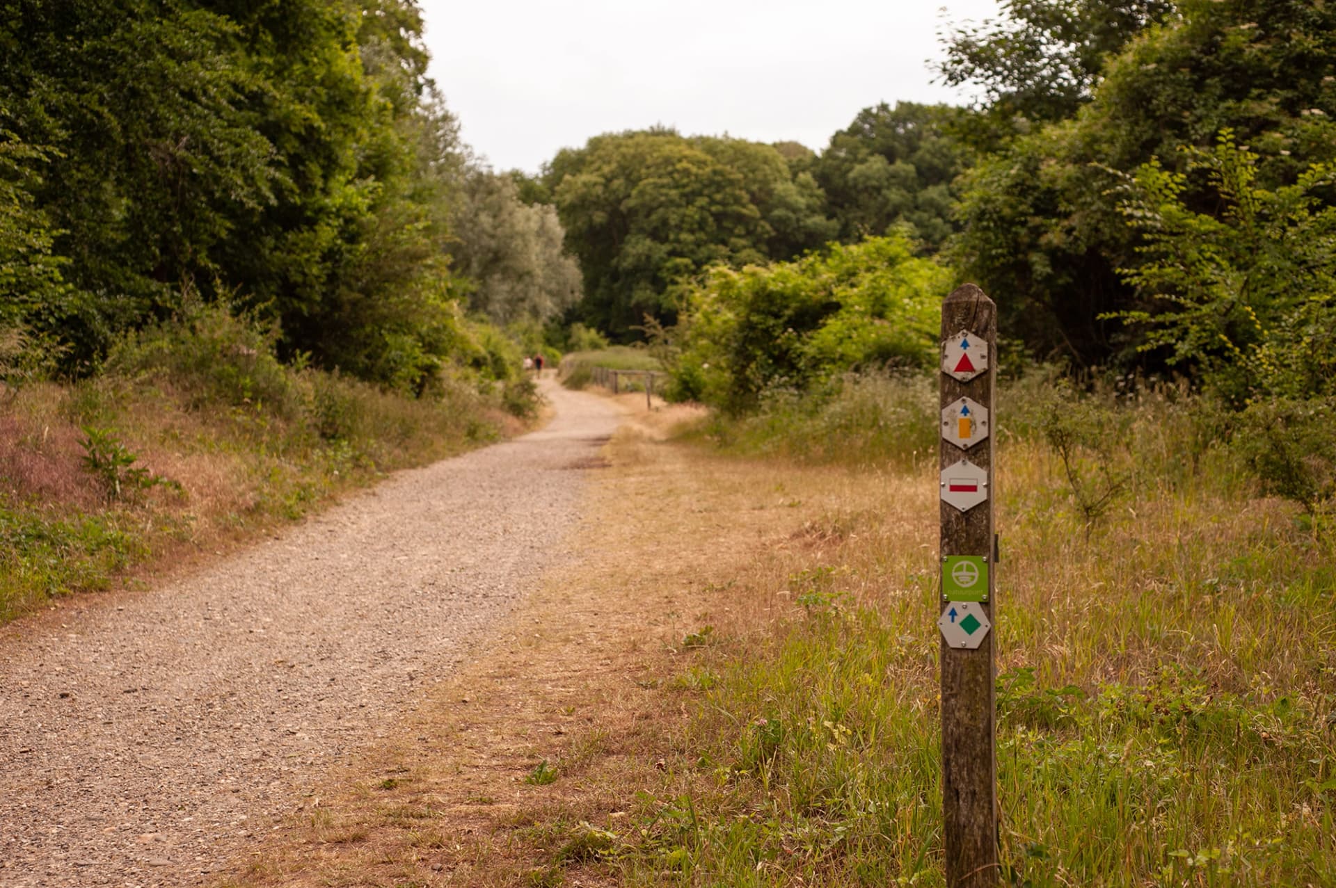
Several well-known long-distance routes cross South Limburg or have an important connection with the region. They range from demanding hill routes to historic and cross-border walks. Safentura does not own or operate these trails; always use the official route information when planning your journey.
South Limburg · Netherlands
± 100 kmA rugged walking route of roughly 100 km between Eygelshoven and Maastricht. The route connects the Seven Summits of South Limburg and showcases the region’s hills, forests, valleys and border landscape.
Long distances, steep sections and changing surfaces mean that fallen trees, mud, temporary access restrictions or severe weather can affect individual parts of the route.
South Limburg · Netherlands
Long-distance routeThe Pieterpad is one of the best-known long-distance walking routes in the Netherlands. Its journey from Pieterburen in the north ends at Sint-Pietersberg in Maastricht, giving South Limburg an important place in this iconic Dutch trail.
A long-distance route crosses many different environments. Recent local observations can provide useful additional context for the section you are approaching.
Limburg · Netherlands & Belgium
160.5 kmA cross-border long-distance walking route through the Maas valley, connecting landscapes on both the Dutch and Belgian sides of the river and highlighting the close relationship between Limburg and the Maas.
River landscapes can be particularly sensitive to changing water levels, flooding and temporary access conditions, making current local information valuable when preparing a walk.
South Limburg · Netherlands
69.5 kmA 69.5 km long-distance walk through Roman South Limburg, following the landscape associated with the ancient Roman route that connected Maastricht with the eastern border region.
Historic routes often combine countryside, villages, roads and modern paths. Current information about access and trail conditions can complement the historical experience.
Geul Valley · South Limburg
Long-distance routeA long-distance walking experience following the landscape of the Geul valley, one of South Limburg’s characteristic natural corridors, with water, hills, villages and green countryside.
Valley routes and paths close to water can be affected by mud, high water and changing ground conditions, particularly after periods of heavy rain.
South Limburg · Netherlands
Long-distance routeA long-distance walking route through the characteristic chalk landscape of South Limburg, connecting hills, countryside, villages and natural areas across the region.
A route crossing open countryside, hills and wooded sections can encounter very different conditions within a single day, making recent observations useful alongside official route information.
Route distances, descriptions and access conditions can change. Always check the linked official information, local signs, weather conditions and current instructions from authorities or route managers before departure.
Conditions can change
Most outings in South Limburg are straightforward, but outdoor conditions are never completely static. Safentura helps bring recent community observations and supported official information together around the routes people use.
Recent observations from people on the trail can provide additional information about local conditions.
Storms, heavy rain, heat and other weather conditions can affect both the trail itself and the safety of an outdoor activity.
Access can occasionally change because of maintenance, local restrictions, events or other temporary circumstances.
In supported areas, hunting-related information can provide useful context when routes approach temporarily restricted or closed zones.
Paths near rivers and streams can become difficult or inaccessible after prolonged or intense rainfall.
Fallen trees, mud, damaged paths, overgrown vegetation and other obstacles can be reported by the Safentura community.
Safentura reports map
Open the Safentura map to explore community trail reports and supported official information. Use it as an additional source of context alongside official guidance, local signs and your preferred navigation app.
Open the reports map
Beyond South Limburg
South Limburg sits between Belgium and Germany, with the Ardennes, Eifel and other Benelux outdoor areas within easy reach. Explore the wider Safentura Benelux & Eifel guide for more regional context.
Explore Benelux & Eifel →South Limburg FAQ
Yes. South Limburg has one of the most varied walking landscapes in the Netherlands, with hills, forests, valleys, countryside and an extensive network of local and long-distance routes.
The Dutch Mountain Trail is a roughly 100 km walking route between Eygelshoven and Maastricht. It connects the Seven Summits of South Limburg and is known for its hills, varied terrain and demanding sections.
Official route organisations, local authorities and destination websites should remain your primary sources. Safentura can add recent community reports and supported official warnings around the area or GPX route you plan to use.
Yes. Heavy rain can create mud or high water, while storms can cause fallen branches or trees. Severe weather can also make exposed or wooded sections less suitable for outdoor activities.
No. Safentura is designed as an additional safety-information layer. Continue using your preferred navigation app or official route information for navigation, and use Safentura for community reports and supported safety information around the route.
Explore South Limburg with more context
Check recent community reports and supported official information before or during your next hike, walk, run or ride through South Limburg.