Nationalpark Eifel
Protected beech forests, open plateaus, reservoirs and marked routes through a landscape where nature is gradually becoming wild again.


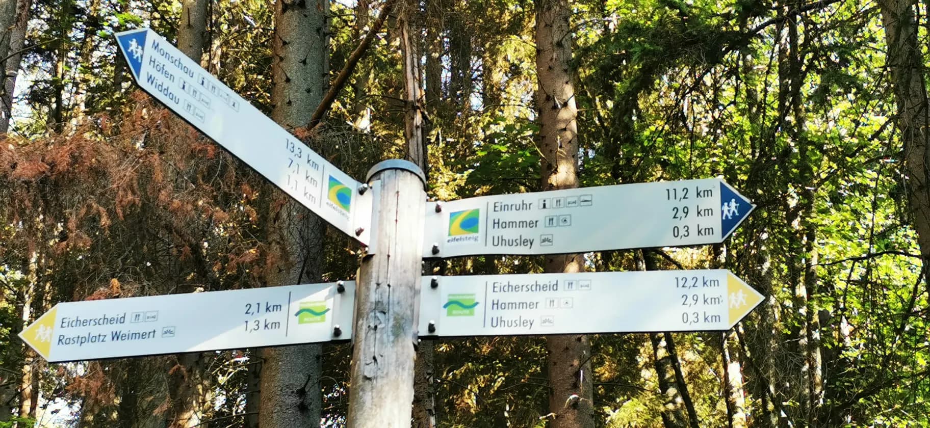
Hiking and cycling in Germany
Ancient forests, volcanic landscapes, river valleys and hundreds of kilometres of remarkable trails. Discover the German Eifel and check current trail reports before you set out.
One region, many landscapes
The Eifel stretches across forests, reservoirs, volcanic hills and deeply carved river valleys. Every part of the region offers a different outdoor experience, from quiet woodland walks to demanding multi-day hikes and mountain-bike routes.
The Eifel forms part of the Rhenish Massif and stretches across western Germany between the Rhine, the Moselle and the Belgian border. Its landscape is shaped by volcanic activity, river valleys, forested ridges and a network of reservoirs.
What makes the region especially interesting for outdoor activities is its variety. A route can move from open plateaus into dense forest, descend into narrow valleys or cross volcanic terrain within the same day.
For hikers, cyclists and mountain bikers, the Eifel is not one destination but a collection of very different landscapes.
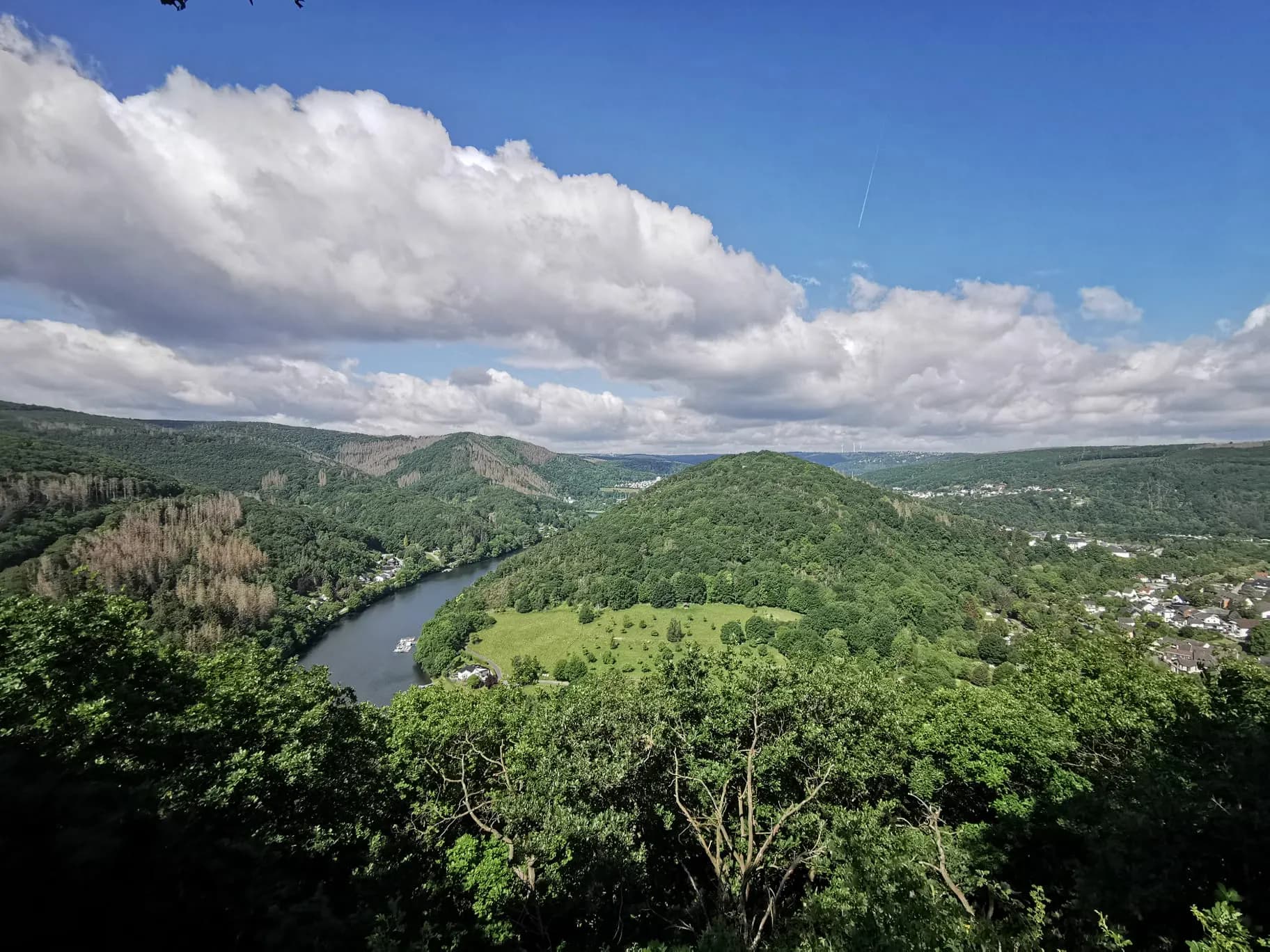
A region shaped by water, rock, forest and millions of years of natural history.
Protected beech forests, open plateaus, reservoirs and marked routes through a landscape where nature is gradually becoming wild again.
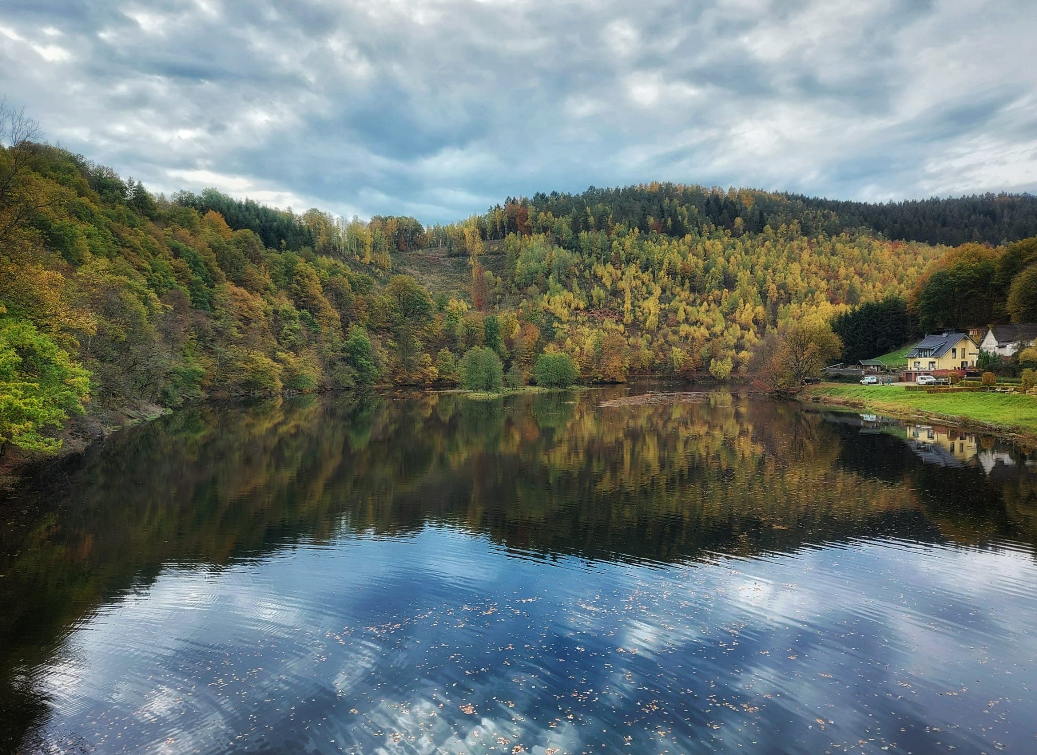
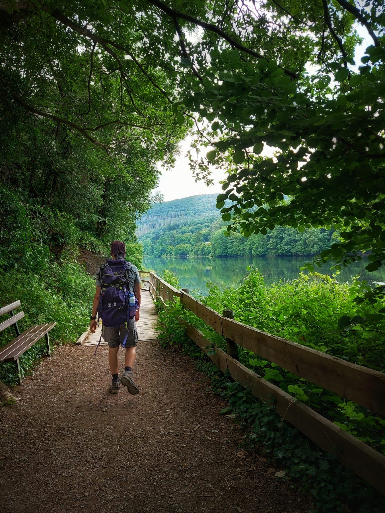
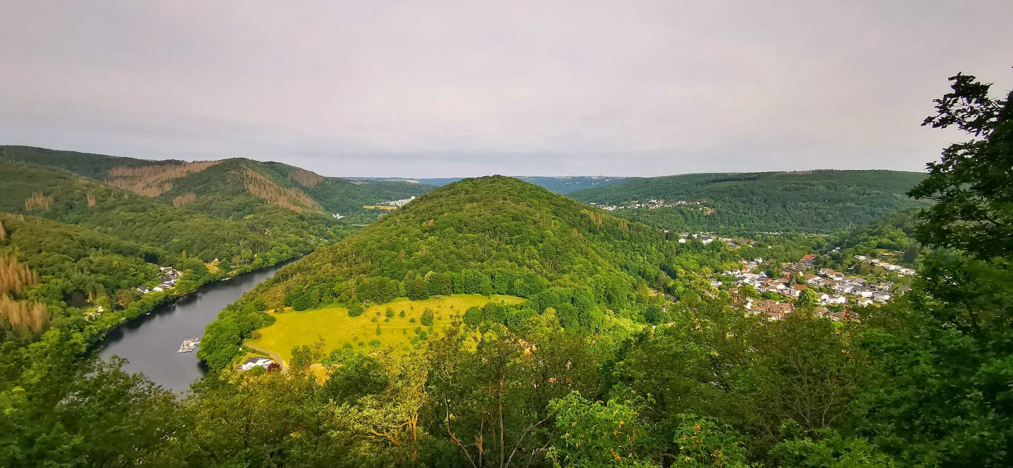
Rocky valleys, the Rur reservoirs and varied routes for walkers, cyclists and mountain bikers around the northern Eifel.
Volcanic craters, maars, springs and forest trails reveal the geological history of one of Germany’s most distinctive regions.
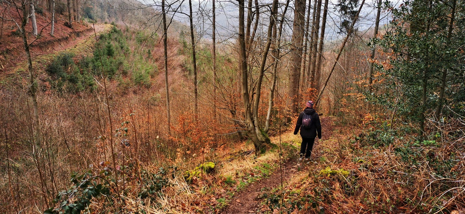
The route across the Eifel
The Eifelsteig crosses the region from Aachen-Kornelimünster to Trier. Its 15 stages connect forests, moorland, lakes, volcanic landscapes, historic towns and quiet valleys over a total distance of 313 kilometres.
313 km
Total distance
15
Daily stages
Top Trail
Certified in Germany
“Where rock and water accompany you”Visit the official Eifelsteig website →
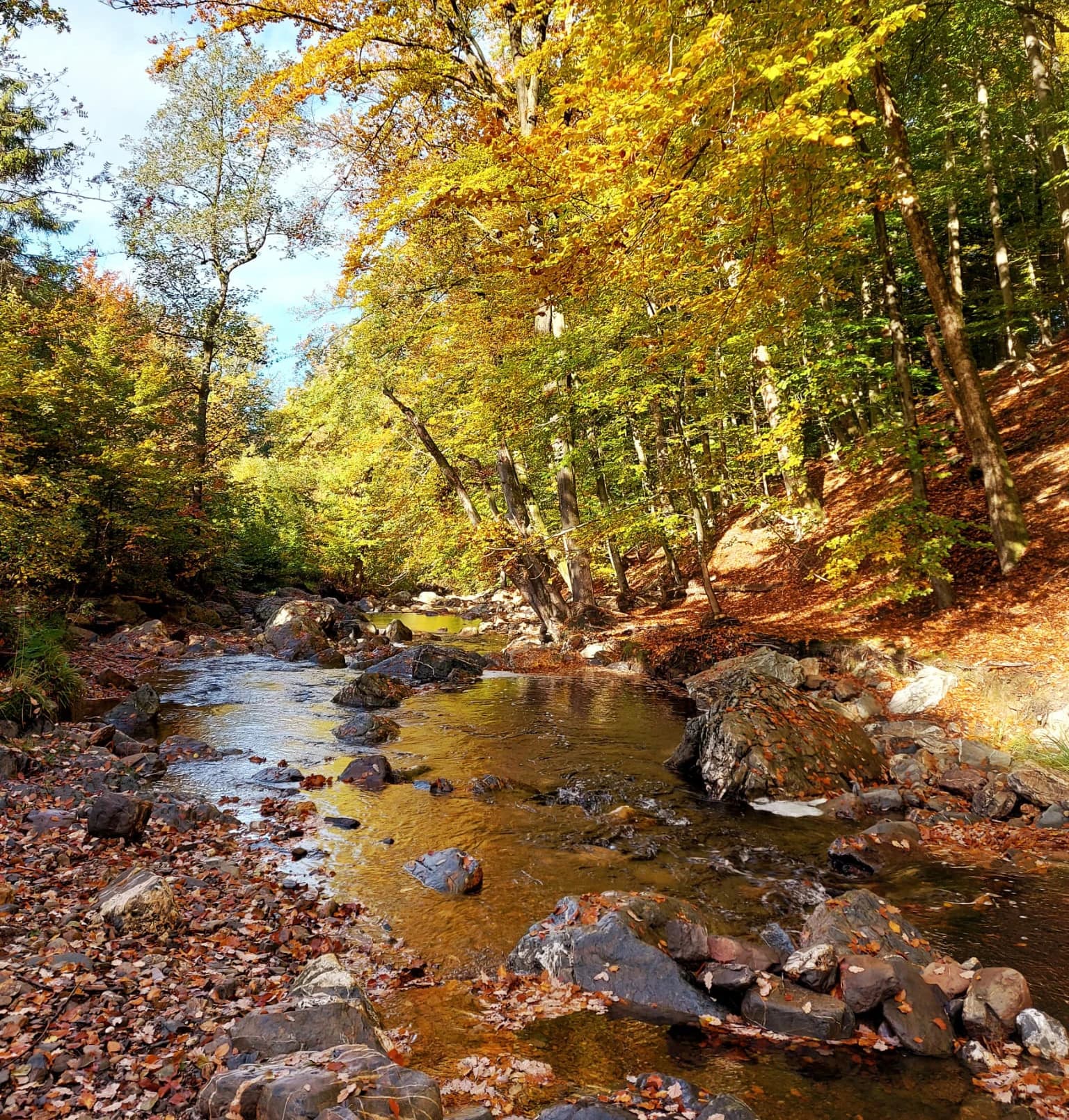
Better prepared
Safentura complements official route information with community reports and relevant safety warnings, helping you check for obstacles or changing conditions before and during your hike.
Kornelimünster
Monschau
Gemünd
Gerolstein
Trier
Beyond the Eifelsteig
From a four-day journey through the national park to volcanic valleys and Roman engineering, the Eifel offers long-distance routes and circular walks for very different kinds of adventure.
Four stages through Nationalpark Eifel, from Monschau-Höfen to Zerkall. Forests, open plateaus, reservoirs and changing elevations reveal the many faces of the national park.
Official route information →Follow the Lieser from its source in the Eifel towards the Moselle. The route passes quiet valleys, volcanic landscapes, rocky paths and the historic castles of Manderscheid.
Official route information →Walk in the footsteps of Roman engineers from Nettersheim towards Cologne. The route follows the remains of the ancient aqueduct that once supplied the Roman city with Eifel water.
Official route information →A network of 95 EifelSchleifen and 18 themed EifelSpuren offers circular day hikes for different levels, landscapes and interests across the northern Eifel.
Official route information →Safentura does not manage or maintain these routes. Distances and route information are based on the respective official tourism and route-management sources. Always consult the official route page before departure.
Cycling and mountain biking
Quiet river valleys, former railway lines, steep forest climbs and long-distance cycling routes make the Eifel suitable for relaxed cycling, demanding tours and mountain-bike adventures.
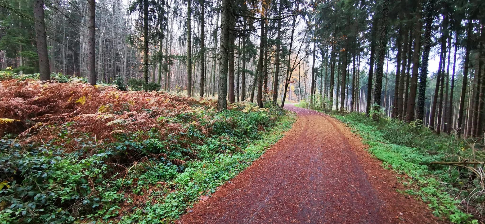
A demanding multi-day circular route around Nationalpark Eifel, passing reservoirs, rocky landscapes, historic towns and wide viewpoints.
Twenty mountain-bike tours across the northern Eifel and Rureifel, ranging from accessible gravel sections to steep climbs and technical forest trails.
An extensive mountain-bike network through volcanic terrain, forests and open countryside around Daun and the Vulkaneifel.
The Eifel throughout the year
The same route can offer a completely different experience depending on weather, vegetation and recent conditions. Preparation matters throughout the year.
Streams, fresh vegetation and flowering landscapes return, while prolonged rain can leave natural paths muddy or waterlogged.
Watch for mud, high water and damaged paths after winter.
Long days make extended tours possible, but heat, thunderstorms and dry vegetation can change conditions quickly.
Check severe-weather and wildfire information before departure.
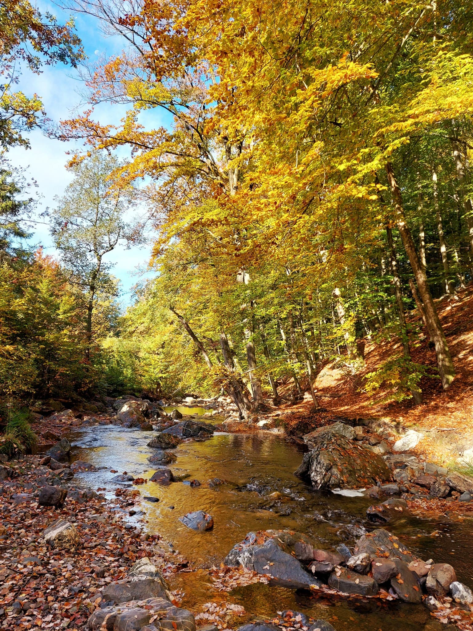
The forests become colourful and quieter, while wet leaves, strong winds and shorter daylight increase the need for preparation.
Expect slippery surfaces and fallen branches after storms.
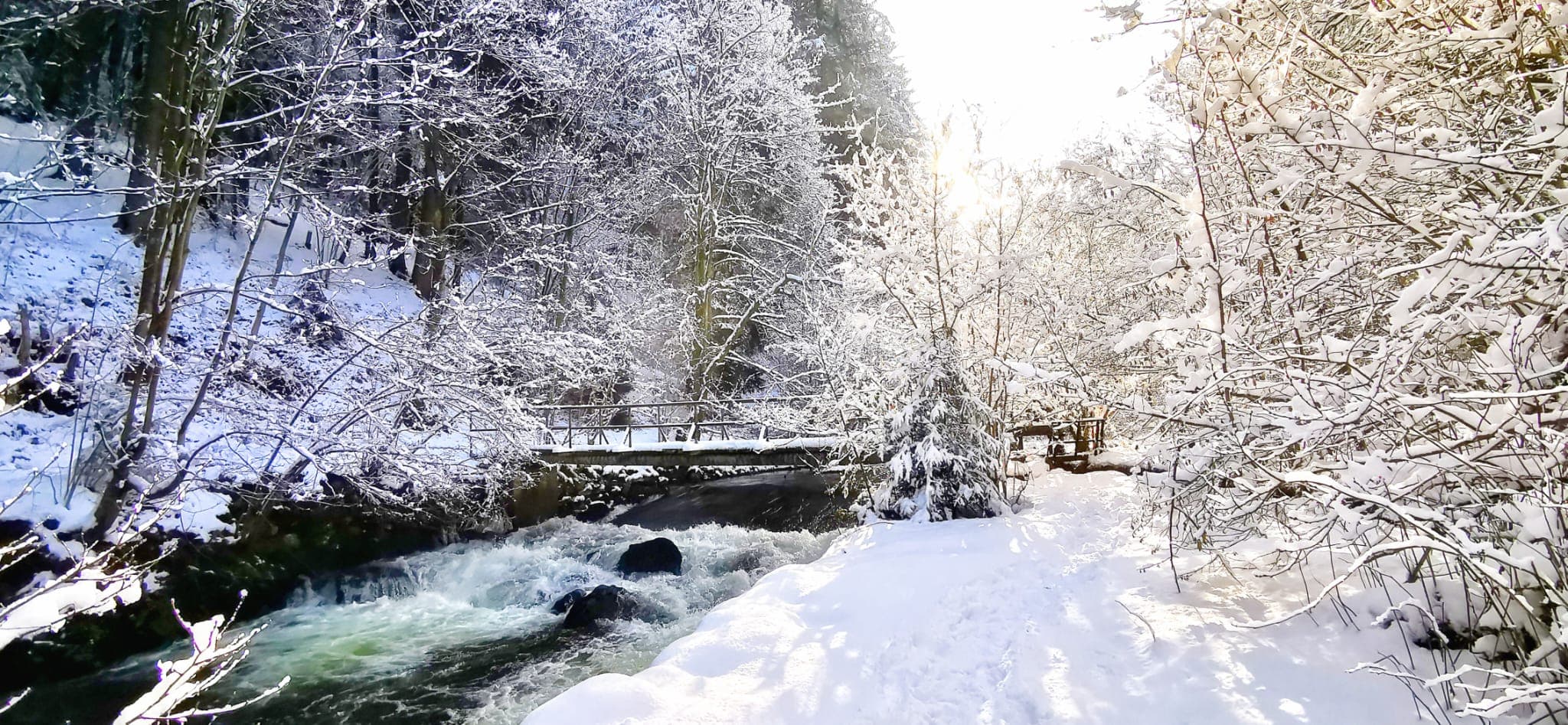
Snow, ice, wind and low visibility can turn familiar trails into demanding routes, especially at higher elevations.
Check conditions, closures and daylight before setting out.
Trail conditions can change
Officially published routes provide the foundation for your journey. Community reports and safety information can help reveal what has changed since the route was planned or last inspected.
Old trees, wind and storms can block paths or leave branches hanging above the trail.
Weather can change rapidly across exposed plateaus, forests and higher parts of the Eifel.
Heavy rain and intensive use can make natural paths difficult or temporarily impassable.
River valleys, streams and low-lying sections can be affected after prolonged or intense rainfall.
Winter conditions can remain present at higher elevations even when lower areas appear clear.
Forestry, maintenance, nature protection or dangerous conditions may require temporary route changes.
Before entering the trail
Safentura complements your chosen navigation tool by helping you understand conditions around the route.
Use the official route provider or your preferred navigation application to select and prepare your journey.
Review community reports and relevant official safety warnings around the route before departure.
Let Safentura monitor the selected route and notify you when you approach a known report.
Community information
Explore reports and relevant safety information on the Safentura map. A quiet map does not guarantee a risk-free trail, but recent community information can help you make a better-informed decision.
Open the reports mapFrequently asked questions
Essential information about the region, its routes and the role of Safentura.
The Eifel covers a surprisingly varied landscape. Nationalpark Eifel, the reservoir country of the Rureifel and the volcanic terrain of the Vulkaneifel each offer very different routes, surfaces and outdoor conditions.
Distances alone do not tell the whole story. Elevation, forest sections, exposed plateaus, recent rainfall, snow, storms or temporary closures can all influence how demanding a route becomes on the day you travel.
The Eifel at a glance
313 km
The Eifelsteig crosses the region between Aachen-Kornelimünster and Trier.
15
Official daily stages make up the complete Eifelsteig.
Hiking, cycling & MTB
Long-distance trails, circular walks, former railway cycle paths and extensive mountain-bike networks can be found throughout the region.
Check the trail, not only the forecast.
Weather is only one part of preparation. Before departure, check the official route information together with recent trail reports and relevant safety warnings.
The Eifelsteig is approximately 313 kilometres long and is divided into 15 daily stages. It begins in Aachen-Kornelimünster and finishes in Trier.
The Eifel can be explored throughout the year, but conditions differ considerably. Spring and autumn can be wet, summer can bring heat and thunderstorms, and winter may bring snow and ice at higher elevations.
Yes. The region offers river and former railway cycle paths, long-distance cycling routes and extensive mountain-bike networks. In protected areas, cyclists must remain on routes where cycling is permitted.
Always begin with information from the official route manager or local authority. Safentura can complement those sources with community reports and relevant safety warnings shown on its map.
No. Safentura is not a navigation application. You can use your preferred navigation tool for directions while Safentura provides community reports, safety information and proximity notifications for known reports.
Better prepared for the Eifel
Discover the Eifel with your preferred navigation application and use Safentura to check community reports and safety information before and during your journey.